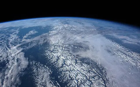
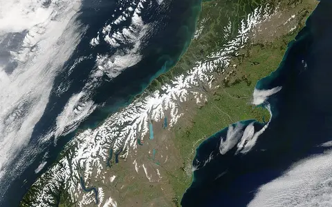
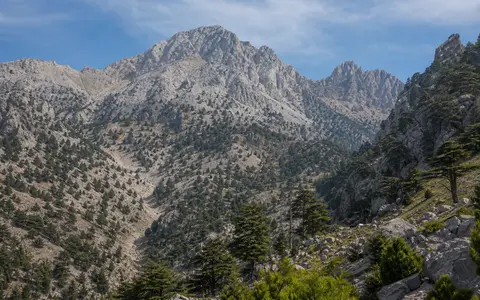
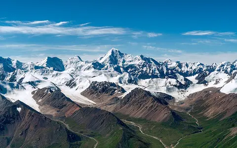
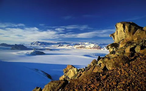
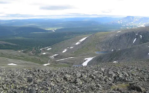
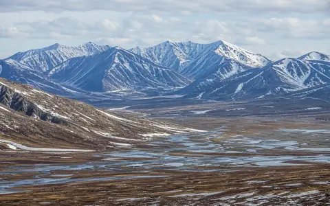
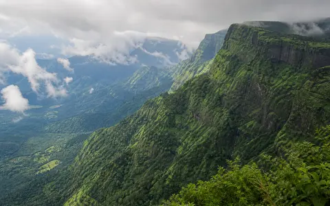
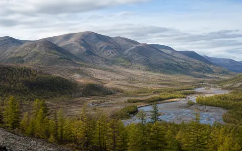
Explore mountain ranges and uplands through their relief, elevation, glaciers, river headwaters, drainage divides, and climate contrasts. The records include cryosphere-linked uplands: highlands connected with snow, ice, or frozen ground, the frozen parts of Earth collectively called the cryosphere. About the cryosphere.
Choose a range to explore its landforms and regional setting. These records cover steep relief and high plateaus, present and former glaciers, river source basins and drainage divides, and contrasts between wet slopes and drier interiors.
In the cards below, intermontane valleys and basins lie between mountains. Karst describes terrain formed as water dissolves soluble rock, often limestone, creating features such as caves, sinkholes, and underground drainage. USGS geographic glossary. Ignimbrite, mentioned for the Sierra Madre Occidental, is rock formed when deposits from hot, ground-hugging flows of volcanic ash and fragments consolidate. USGS ignimbrite definition.
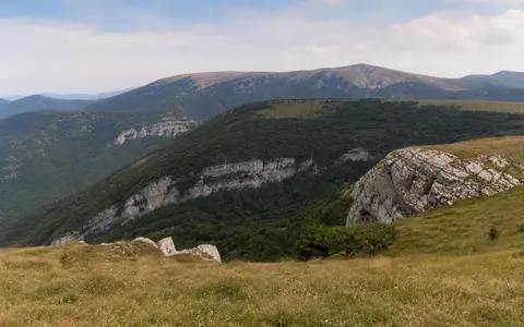
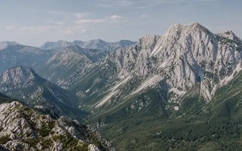
An Adriatic mountain system linking parallel limestone ridges, high karst plateaus, underground drainage, deep valleys, and maritime-continental climate contrasts.
An ancient eastern Indian upland belt linking broken hill ranges, cross-cutting rivers, plateau margins, coastal plains, and changing monsoon controls.
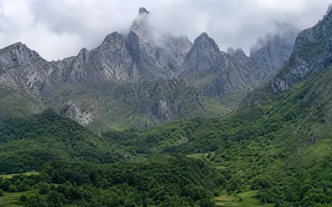
Greece's northwest-southeast mountain spine, linking limestone and ophiolite massifs, deep gorges, divided headwaters, former glaciation, and an eastern rain shadow.
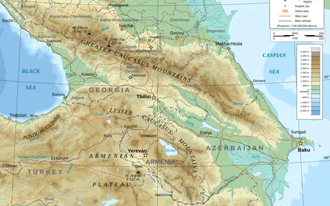
A northern Anatolian mountain system linking steep Black Sea slopes, complex Pontide geology, cross-range rivers, glacial highlands, and a strong interior rain shadow.
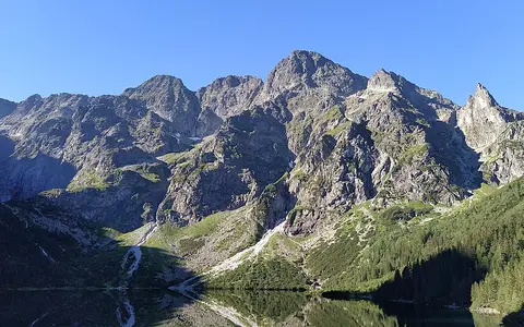
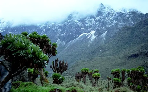
An equatorial East African fault-block range linking ancient crystalline massifs, deep valleys, glacial terrain, heavy rainfall, and Nile-basin headwaters.
A southern Siberian mountain system linking Western and Eastern Sayan ranges, intermontane basins, glacial relief, and the upper Yenisei drainage network.
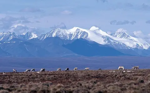
A northeastern Siberian mountain arc linking fold-and-thrust ridges, Lena and Yana drainage divides, permafrost, and a strong record of former glaciation.
A Transbaikal watershed range linking ancient crystalline uplands, fault-guided valleys, continental climate, and the Yenisei, Lena, and Amur drainage systems.
We use Google Analytics to understand which natural-place records are useful. Analytics will not load unless you accept. You can change your choice later in Privacy settings.