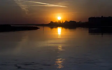

What the Syr Darya is
The Syr Darya is one of the two principal rivers of the Aral Sea Basin, alongside the Amu Darya. It is formed where the Naryn and Kara Darya meet in eastern Uzbekistan, then follows a generally westward and north-westward route through Uzbekistan, along or near parts of the Tajikistan border region, and across southern Kazakhstan.
The river's physical identity comes from a sharp upstream-to-downstream contrast. Most runoff is generated in the high Tien Shan catchments of Kyrgyzstan, while the main stem traverses intermontane valleys, piedmont plains, steppe, and desert lowlands where precipitation is much lower and evaporation is stronger.
Tien Shan headwaters and upper tributaries
The Naryn drains high ranges and plateaus of the central Tien Shan, and the Kara Darya gathers water from the Fergana and Alay range sectors to the south and east. Snow accumulation, seasonal snowmelt, summer precipitation, and some glacier melt supply these upper tributaries.
Although glaciers contribute to the headwater system, snowmelt and warm-season precipitation are the larger combined controls on runoff in the glacierized upper basin. Steep gradients carry water rapidly from mountain valleys toward the broader depression of the Fergana Valley.
From intermontane valley to desert plain
The Fergana Valley is a broad intermontane basin enclosed by branches of the Tien Shan and Alay mountain systems. Here the headwater rivers leave confined mountain corridors and enter an alluvial lowland of fans, terraces, and cultivated floodplain surfaces. The Syr Darya begins near the valley's eastern side and exits westward through a narrower passage.
Beyond Fergana, the river crosses the drier middle basin, passing the Mirzacho'l, or Hungry Steppe, and receiving tributaries linked to the western Tien Shan, including the Chirchiq system. Farther downstream it bends north-west through the Turan lowlands and along the north-eastern margin of the Kyzylkum Desert.
Mountain runoff
The Naryn and Kara Darya transfer water from high, snow-fed catchments into the Fergana depression.
Valleys and piedmont plains
Alluvial fans, tributary junctions, irrigated lowlands, and reservoir reaches shape the river corridor.
Steppe and desert margins
A low-gradient channel crosses dry plains toward delta wetlands and the North Aral Sea.
Seasonal flow and strong regulation
Under natural conditions, meltwater and rainfall from the mountains produce a strong warm-season contribution to discharge. Tributaries entering from uplands contrast with channels from drier lowlands, some of which diminish before reaching the main river or carry highly variable flow.
Dams, reservoirs, canals, and irrigation withdrawals now regulate most of the river's discharge. Toktogul Reservoir on the Naryn influences the timing of water entering the main system, while reservoirs such as Kayrakkum and Shardara control middle and lower reaches. Regulation can shift seasonal flow, reduce downstream sediment transfer, and change the frequency and extent of floodplain inundation.
Continental contrasts across the basin
The basin spans cold, high-altitude mountain climates and strongly continental lowlands. The headwaters receive more precipitation, much of it stored seasonally as snow, whereas the Fergana floor and the plains beyond are warmer and drier. Hot summers, cold winters, low rainfall, and high evaporation characterize much of the middle and lower course.
This climate gradient explains why the river can remain substantial across arid country: much of its water is imported from distant uplands. It also makes flow timing important, because the season of mountain runoff does not always align with downstream storage and irrigation patterns.
Delta and North Aral Sea outlet
In Kazakhstan, the lower Syr Darya follows a low-gradient alluvial corridor across the Turan Plain. The channel develops meanders, abandoned courses, floodplain lakes, reed wetlands, and distributary features as it approaches the Aral depression. Ice formation in winter and spring breakup add a cold-season control that is less important in the upper basin.
The river enters the North Aral Sea, separated from the larger southern basin by the Kok-Aral Dam. Its outlet is therefore part of the changing Aral Sea landscape rather than a stable marine delta. The sequence from Tien Shan headwaters to an enclosed desert-basin lake makes the Syr Darya a clear example of endorheic continental drainage.
A transboundary drainage corridor
The Syr Darya basin is shared by Kyrgyzstan, Uzbekistan, Tajikistan, and Kazakhstan. Mountain tributaries, valley aquifers, floodplains, reservoirs, and the Aral Sea are connected across these boundaries, so upstream changes in storage or flow timing propagate through the physical system.
Within the wider atlas, the river is best compared with the Amu Darya, which approaches the Aral Basin from the south, and with the Tien Shan, the principal highland source region for Syr Darya runoff.